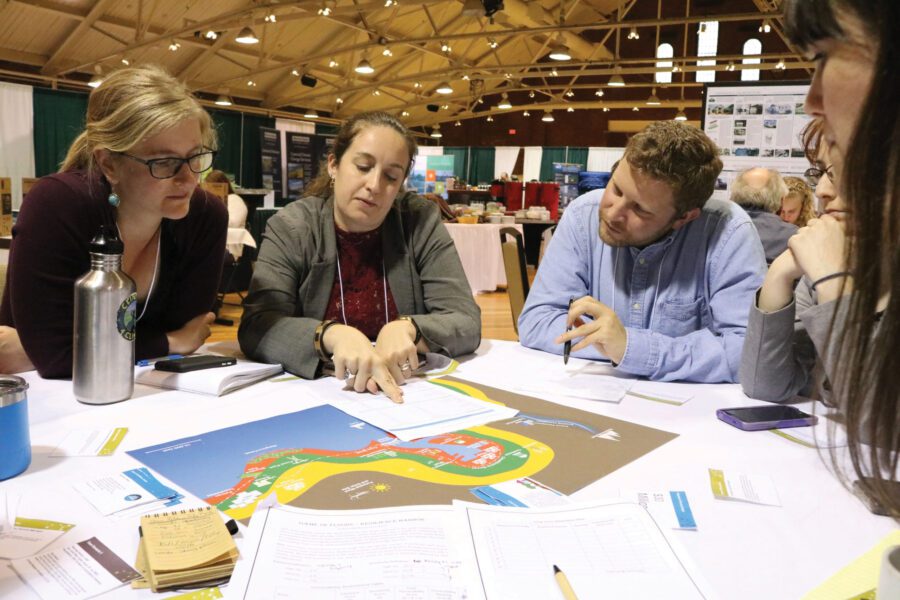
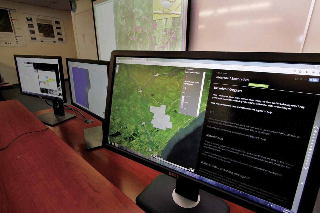
Each day, significant and key decisions are being made thanks to data from Geographic Information Systems (GIS). GIS is a powerful platform for understanding and planning our world. With GIS technology, people can create their own digital map layers to help solve real-world problems. By relating seemingly unrelated data, individuals and organizations can have a better understanding of patterns and relationships.
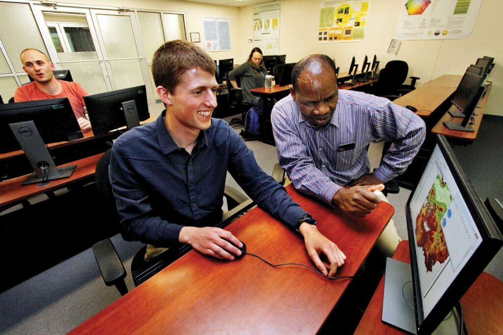
As GIS has become a vital decision support tool, the national and international need for qualified professionals has grown at an unprecedented rate. Antioch University New England offers an Applied Spatial Analysis for Geographic Information Systems (GIS) certificate that is also offered in Los Angeles.
“A certificate in GIS provides students with skills that allow them to be a cut above the average graduate student that might have basic GIS skills. It provides higher-level skills and proficiency, which is something that helps our students get jobs,” says Dr. Peter A. Palmiotto, Environmental Studies program director.
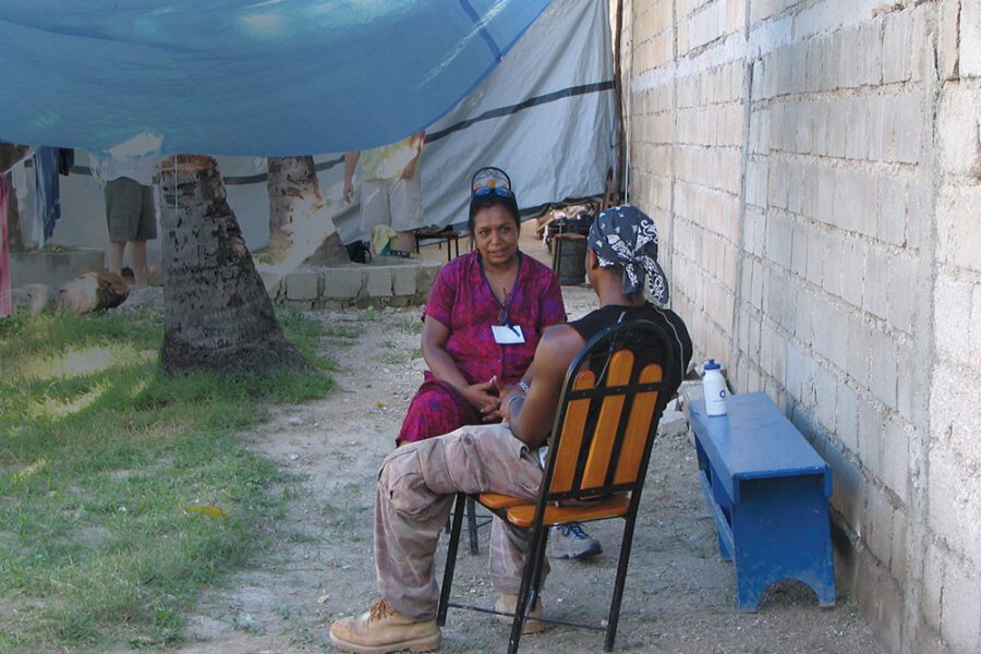
Students in the Environment Studies department use GIS mapping to understand the threats facing species in a specific region, or to study the effects of conservation practices on a local ecosystem, but GIS skills aren’t just for environmental scientists.
A background in GIS is useful for any professional who needs to understand unique patterns and relationships between multiple data points as they relate to cartography.
People working in many different fields use GIS technology in multiple ways. Public health officials can track disease outbreaks, monitor community resources, and identify and locate vulnerable populations; telecommunications professionals can use it to support more efficient service delivery, teachers can help K-12 students put their lessons into geographic context, scientists can compare population statistics to resources such as drinking water, and biologists are able to track animal migration.
There is no limit to the kind of information that can be analyzed using GIS technology. GIS can create a database of the world, reveal patterns, trends, and relationships.
“Maps and mapping can tell a story,” Palmiotto says. “It’s a phenomenal way to communicate with people; even if you can’t speak the same language, you have a map. It’s kind of like a musical instrument. It makes a connection.”
Donors Help GIS Program Grow
by Carol Krumbach
The GIS Center has been able to expand its capabilities and serve more students thanks to Dr. Bruce Bedford and his wife, Ann, who have made several gifts earmarked for GIS initiatives over the past five years. Through their generosity, GIS courses and lab hours have expanded, and in addition to courses on the New England campus, a one-year GIS certificate is now offered in Los Angeles in a mainly online format.
Dr. Bedford, a longtime member of the university’s Board of Governors, says, “GIS is an extremely valuable tool in so many arenas – urban planning, conservation issues, clinical psychology evaluation work, data analysis for membership-driven nonprofits – it’s an extraordinarily useful resource, and I believe Antioch can play a leadership role in providing GIS training across many fields.” He says he and his wife are “proud to support this important work, and proud to support a university of lifelong learners.”